The original human inhabitants of this country were the Woiworung, who claimed the country to the north of the Werribee River. Their brothers, the Wathaurung claimed the land to the south all the way to Cape Otway.
By 1842 the pastoral occupation of the country covered by the Shire was largely complete. Grazing by sheep and cattle had a profound effect on the native flora and fauna and lead to the open grazing country that we are familiar with today.
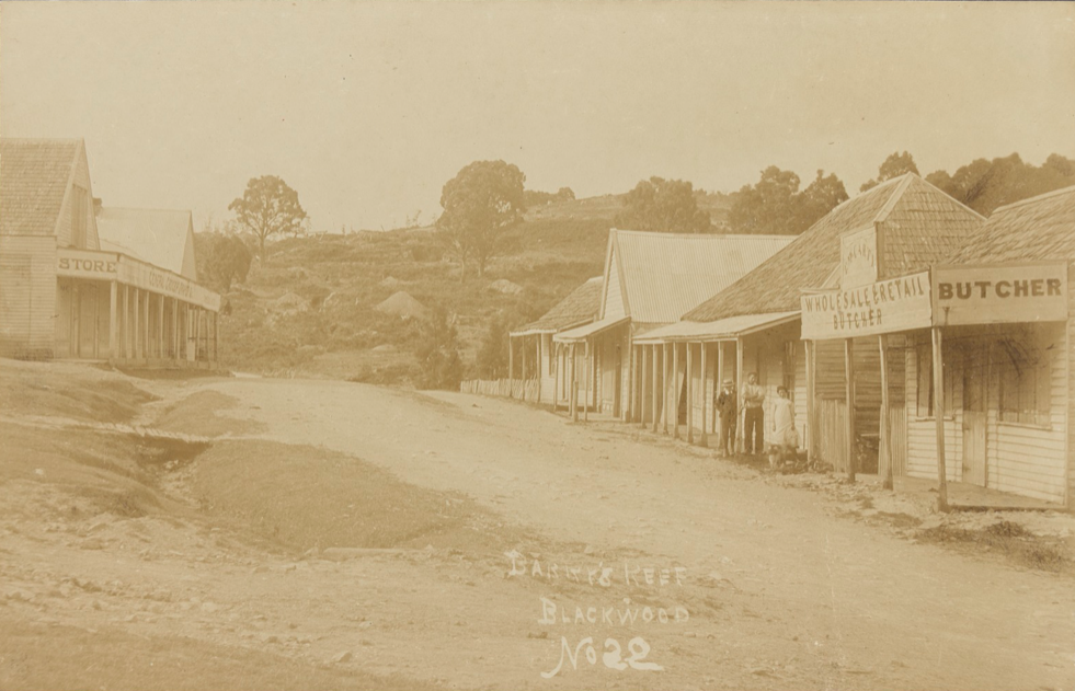
Blackwood album [ca. 1870-ca. 1915] - State Library Victoria
The discovery of gold was to have a dramatic effect on the economy of the districts now embraced by Moorabool. In May 1854 alluvial gold was discovered at Goodman’s Creek and whilst not particularly rich or profitable by 1861 there were approximately 160 miners prospecting in the Bacchus Marsh area. Gold was also discovered in the Werribee and Lerderderg Gorges. There remain stone and earth walled water races and remnant gold workings at Lerderderg Gorge and the miner’s huts at Werribee Gorge are a testament to the difficulties experienced by the miners in this locality.
Gold never replaced grazing as the major economic activity of the Shire, and this in turn provided the support for the establishment of the towns in the Shire.
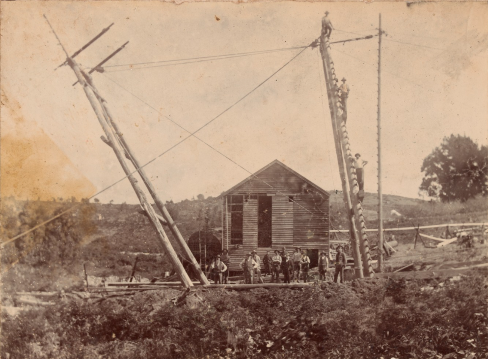
Barry's Reef Blackwood, Moorabool [ca. 1870-ca. 1915]- State Library Victoria
The first towns were surveyed at Darley and Maddingly and in October 1842 the first land sales were held. The commercial area of modern Bacchus Marsh was developed gradually by private investors following the discovery of gold in the district. Coimadi was originally known as Limestone’s Basin and in the 1860s was the centre of a limestone industry. The construction of the Coimadi Reservoir saw the obliteration of much of this early settlement. Myrniong developed as an agricultural township and provided supplies to the goldfields population at Mt Blackwood. Hopetoun developed as a stopover on the main route from Melbourne to Ballarat. It greatly benefited from the gold rushes with John Leahy establishing an inn at the point that the diggers heading for Ballarat had to cross the Lerderderg River. It became a settlement dominated by Irish immigrants and for a period was known as Tipperary Flats.