Macedon Ranges is located on the Country of the Dja Dja Wurrung, Taungurung and Wurundjeri Woi Wurrung Peoples. The Wurundjeri, Dja Dja Wurrung and Taungurung lived in clearly demarcated territories defined by tribal language, and bounded by geographical features such as mountain ridges, creeks or rivers.
These three communities, along with the Wathaurung and Boonerwrung, make up the federation of the Kulin Nation. Each community in the Kulin Nation is distinct and is made up of smaller land-owning communities (or clans) but they all share a defining social moiety (totem) either Bundjil, the eagle, or Waa, the crow. An individual’s moiety traditionally dictated behaviour, social relationships and marriage partners.
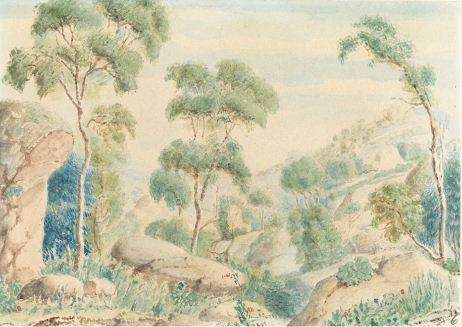
The Wurundjeri peoples (also known as the ‘Woiwurrung’) lived on the lands in and around the Yarra River and Maribyrnong watershed, which extended northwards to include the Macedon Ranges and the current towns of Gisborne, Hesket, Lancefield, Macedon, Riddells Creek and Romsey.
The Dja Dja Wurrung peoples (also known as the Djaara Djaara people) covered a very large area of central Victoria, including land around the present towns of Woodend and Malmsbury and the west side of the Campaspe River around Carlsruhe and Kyneton.
Taungurung peoples lived on lands that include the townships of Kyneton and Carlsruhe on the east side of the Campaspe River, and range through to Rushworth and Euroa in the north, extending east to Mt Buller.
Wurundjeri, Dja Dja Wurrung and Taungurung communities continue to be active today, working to manage and care for Country and develop strong and resilient communities.
As a result of colonial policies and demographic shifts there are other Aboriginal and Torres Strait Islander people living in Macedon Ranges who belong to different Traditional Owner groups outside of the Macedon Ranges. These Aboriginal and Torres Strait Islander people have their own histories and cultures.
The broad character of the Macedon Ranges area today is mainly derived from agricultural and pastoral activities, from transport and from the townships. The transport corridors are the basic dividing elements within the Shire and the townships are built around the key stopping points through the municipality.
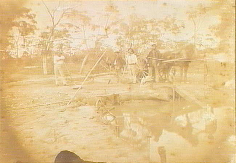
Gold diggings 1848, c. 1851-2
John Hunter Kerr (photographer), State Library of Victoria
Perhaps the greatest impact of the gold rushes on the Shire was that of diggers travelling through on their way to the diggings of Mt Alexander and Sandhurst (Bendigo). The section of the Mt Alexander Road between Macedon and Woodend had a particularly bad reputation for the activities of bush rangers.
The construction of the railway through the Shire was a major infrastructure development for the new colony and occurred in the wake of the gold rushes. The Victorian Government had determined to build a railway to the inland goldfields. The first section from Melbourne to Sunbury was opened in 1859 and by 1861 there was a connection to Woodend. This included outstanding engineering works such as the arched basalt bridge at Riddell’s Creek. By 1862 the line had reached Kyneton.
The first small towns in the area sprung up in response to the needs of travellers along the goldfields roads. The railway cemented their identities as transit points. At Gisborne the railway resulted in a new town, New Gisborne, built around the railway station, itself in that position because the design engineers didn’t want the train to descend into and out of the valley that Gisborne was established in 1861.

